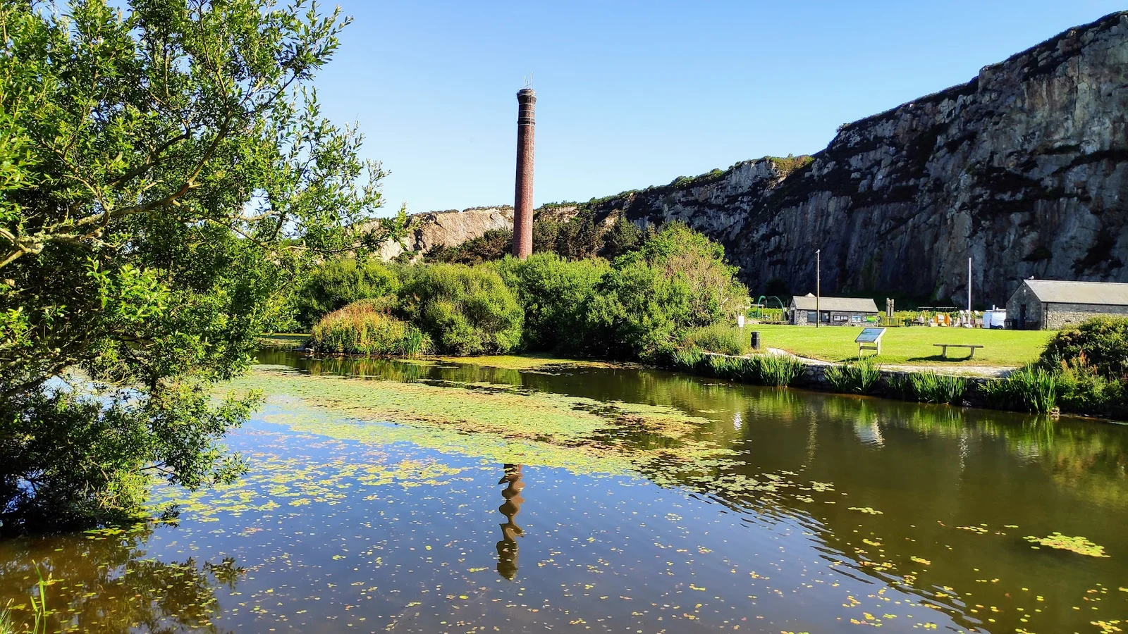
About
Mynydd Bodafon (178 metres) is Anglesey's highest inland summit — a heather-and-gorse moorland ridge of ancient Precambrian quartzite rising abruptly from the flat farmland of the east coast, with views from the trig point that stretch to the full Snowdonia skyline, the Llŷn Peninsula, and on exceptionally clear days the Wicklow Mountains of Ireland. The landscape feels genuinely wild despite the island's gentle reputation, and the open access land supports breeding stonechats, peregrines, and in summer, a scattering of bog plants including sundew and cross-leaved heath. Park in the lay-bys near Llanbedrgoch on the B5111 and follow the moorland track to the trig point — the ascent takes 30–40 minutes at a gentle pace, making it ideal for families wanting a proper viewpoint without a strenuous day out.
Suitable for
Accessibility
Getting there & parking
Frequently asked questions
Is Mynydd Bodafon really Anglesey's highest point?
It is the highest inland summit on the main island of Anglesey at 178 metres. Holyhead Mountain on Holy Island is higher at 220 metres, but Holy Island is technically a separate island.
How difficult is the walk?
The ascent is short — under a mile — but involves rough moorland with no formal path. It is suitable for older children and adults with reasonable fitness. Good footwear is essential.
What can I see from the top?
On clear days you can see the full Snowdonia massif, the Llŷn Peninsula, Puffin Island, and the Irish coastline. The 360-degree panorama is the finest inland viewpoint on Anglesey.
Tagged